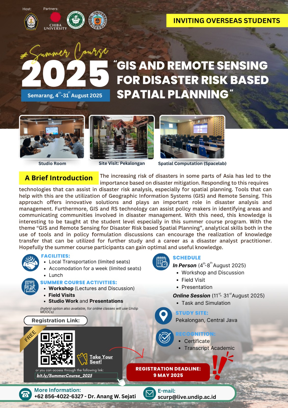
GIS and Remote Sensing for Disaster Risk Based Spatial Planning
Course Description
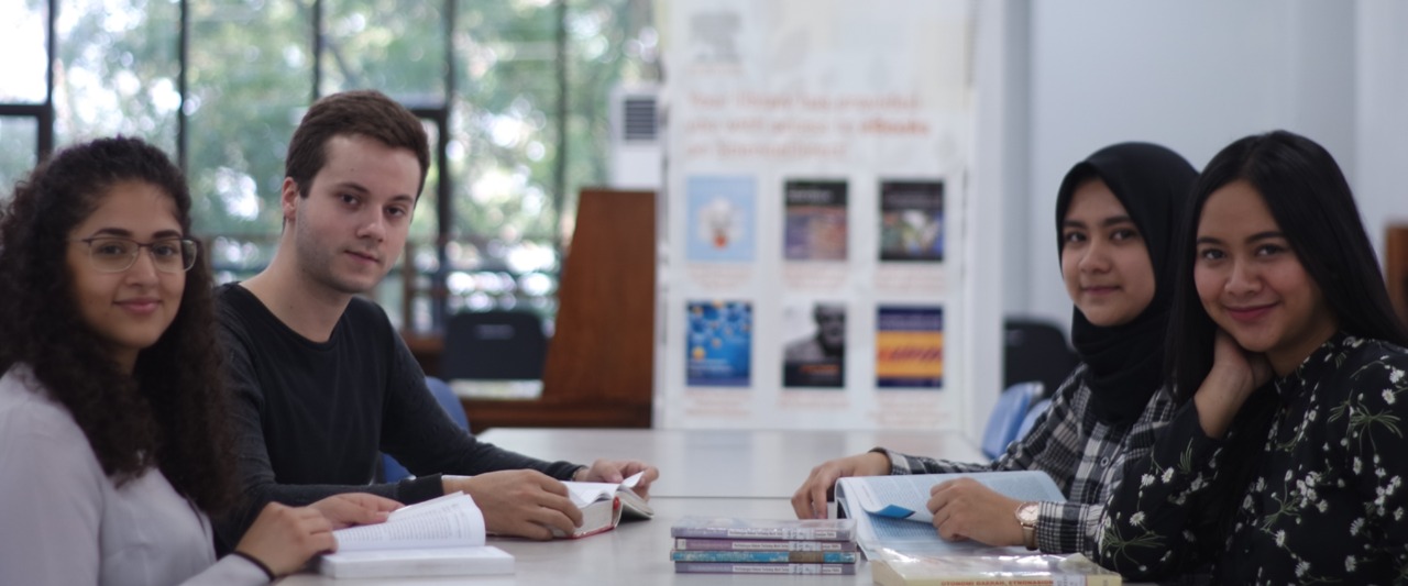
This summer course activity aims to provide practical and field experience for participants to be able to process spatial data in conducting disaster risk assessments. The summer course activity includes the transfer of knowledge by researchers or teams of lecturers from Diponegoro University, Chiba University, and University of Technology Malaysia about GIS and remote sensing modeling for urban and regional development. In addition to lectures, there will be material provision activities, consortiums, field visits, and student workshops.
Course Features
- Admission: Mar 1 2025 - May 9 2025
- Course: Aug 4 2025 - Aug 31 2025
- Seats Available: 25
- Faculty / School: FACULTY OF ENGINEERING
- Time:
- Classes : Offline and Online
Website
Learning Outcomes
- Fundamental GIS for Disaster Risk Reduction (DRR) Planning
- Resilience Concept for DRR
- Data Preparation for Risk Assessment Analysis Using GIS and Sensing Data
- Spatial Analysis in Risk Assesment

Summer Course 2025, Business and Finance Department, Vocational College, Diponegoro University - Sustainable Innovation and Digital Transformation in Modern Business and Society
...
- APPLY
Sep 14
Sep 21 - Quota
Classes - Courses
Sep 22
Oct 8

Summer Course 2025: Sustainable Coastal Urban Futures: A Planning Studio for Settlements and Livelihoods in Semarang
This program is structured as a forum for participants, especially students, to respond to phenomena in selected case in the form of comprehensive act ...
- APPLY
Sep 3
Sep 9 - Quota
65
Classes - Courses
Sep 8
Oct 5

Summer course Tropical Ecodive 2025
Dive into the heart of Indonesia’s marine paradise with Tropical Ecodive in Karimunjawa, a transformative summer course that blends adventure, envir ...
- APPLY
Jul 15
Aug 15 - Quota
10
Classes - Courses
Aug 22
Sep 2

UNDIP Summer Course Program 2025 "Emerging Trends in Artificial Intelligence"
The 2025 Summer Course Program organized by the Department of Informatics, Faculty of Science and Mathematics, Universitas Diponegoro, offers an inter ...
- APPLY
Aug 12
Aug 18 - Quota
40
Classes - Courses
Aug 18
Aug 24

The 8th Summer Course Program 2025 "Heritage and Wisdom for Better Public Health"
The 8th Summer Course Program "Heritage and Wisdom for Better Public Health" Faculty of Public Health, Diponegoro University The Summer Course Pro ...
- APPLY
Jul 21
Sep 6 - Quota
Classes - Courses
Sep 17
Oct 17

UNDIP Summer Course 2025 Sustainable Product: Innovation for a Better Future
This program serves as an international platform for students, academics, and practitioners to explore sustainable product design, environmental impac ...
- APPLY
Jul 24
Jul 31 - Quota
75
Classes - Courses
Jul 22
Jul 24

the 2025 Bilateral PSYCHE "Ignite the Passion, Spark the Curiosity"
The 2025 Bilateral PSYCHE aims to foster and uplift collaboration among participants that will enrich learning experiences, perspectives and achieve m ...
- APPLY
Apr 1
Jun 30 - Quota
Classes - Courses
Jul 7
Aug 10